


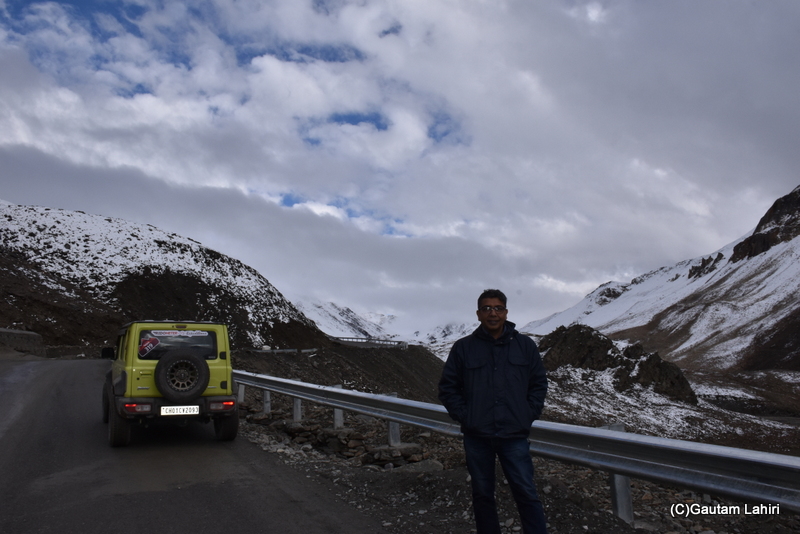
The rain had dampened the spirit. The water-washed clouds hung low over the mountains that we traversed. The tyres were skidding, the roads were narrow, and steep.
The SUV’s low gears and rumble of the engine took us, 142 kms northwest into the steep elevation.
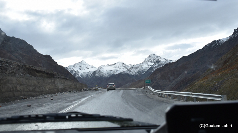
to the lofty mountains of Lahaul and Spiti
valley, the dark clouds made it all the more grim
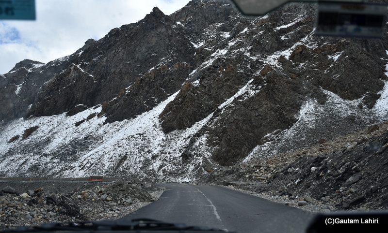
The scenery had changed to whitish black, grey. Marvelous mountains with judicious mix of rugged igneous, sedimentary rocks under a cloudy sky looked beautiful and fearful.
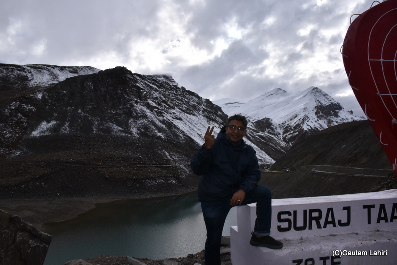
We were at 16,043 feet above the mean sea level, the third highest lake in India. Join us as we stop and absorb the extraordinary splendor of Suraj Taal or lake.
Suraj Taal, Lake of The Sun God
the Greater Himalayas, as we headed
towards Suraj Taal, Himachal Pradesh
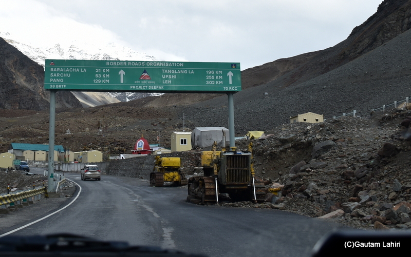
Asphalt and the Grey Snow Peaks
schists and gneisses, lay broken and stared
at us and the Trans-Himalayan range
that bordered the road

like shales and sandstones, deposited over
millions of years from ancient seabeds
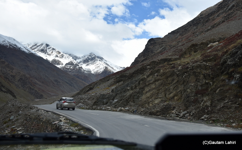
down, and the snow-covered igneous
mountains were all around us.
It was a scene to behold
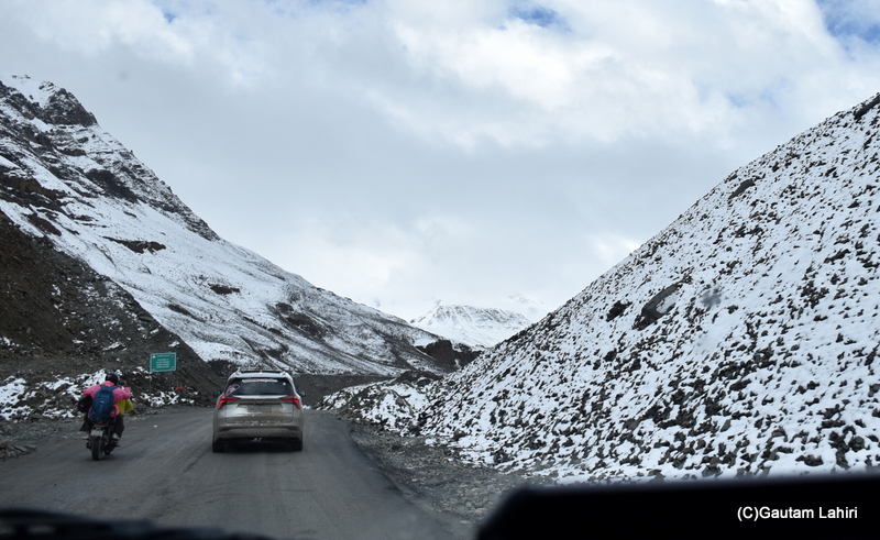
the Greater Himalayas had sloped in
on the descending road, with no signs
of any vegetation around the rugged terrain
The Beautiful Suraj Taal
looked at the astonishing Suraj Taal

Chandra and Bhaga rivers are fed by
the glaciers with Bhaga River by Suraj
Taal alone; the lake surface reflected
the white mountains
An Aerial View of Suraj Taal👇
allure from the air

covered the mix of metamorphic
and igneous rocks of the Zanskar range
Himalayan range, where we stopped for
a spot of taking in the beauty of the lake, so
beautiful on our way to deeper pockets of Ladakh
Inference
- Suraj Taal is located just below the Baralacha La pass
- Elevation of 4,890 meters or, 16,043 ft
- Connects the Lahaul valley in Himachal Pradesh to Ladakh
- Winters are intense, with temperatures plunging to -20°C to -40°C,
- The lake remains frozen from November to May, heavy snowfall blankets the entire region, making it inaccessible during winter months
| Distance from Manali to Suraj Taal | 142 Kms |
| Key passes you will cross | Rohtang Pass 13,050 ft, Baralacha La Pass 16,040 ft |
| River you will see | Chandra and Bhaga |
| Best time to visit | Late August through late September |
| Alert | The height may bring medical emergency due to less oxygen, as AMS may set in to a lot of travelers |
For the complete ✨Ladakh Diary Series, click below 👇
